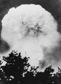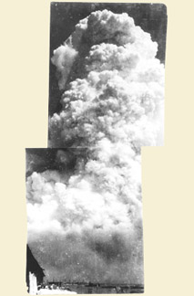
Standing at the Hypocenter
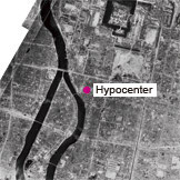 Aerial photograph of the hypocenter area August 11, 1945 Taken by US military |
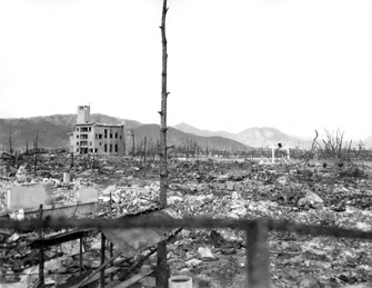 NorthOctoberThe building on the left is Hiroshima Prefectural Commerce Association. The white torii gate of Hiroshima Gokoku Shrine remains standing. Taken by US military |
||
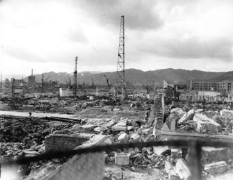 WestHonkawa Elementary School is seen on the right in the distance.Taken by US military |
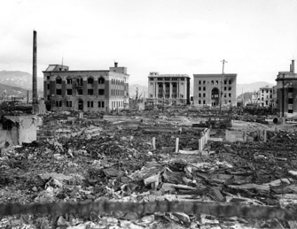 EastFrom the left the photograph shows Chiyoda Insurance Hiroshima Branch, Geibi Bank Central Branch, and Sumitomo Bank Hiroshima Branch.Taken by US military |
||
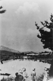
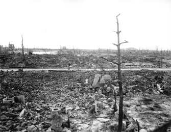 SouthPeople are walking on Hondori. Motoyasugawa River can be seen on the left in the distance. From the center to right in the distance are Ebayama Hill and Ebasarayama Hill.Taken by US military |
|||